

The Bureau of Land Management’s Rocky Mountain Resource Advisory Council (BLM) will host a virtual meeting from 9:00 a.m. to 4:00 p.m. on April 13, 2022, to discuss a variety of topics.
The meeting is open to the public and the meeting agenda and registration information is available on the Resource Advisory Council webpage at https://www.blm.gov/get-involved/resource-advisory-council/near-you/colorado/rocky-mountain-rac.
“Rocky Mountain Resource Advisory Council members represent diverse interests from communities across southeastern Colorado,” said Rocky Mountain District Manager, Cathy Cook. “They help the BLM engage with stakeholders, providing essential feedback on current issues, concerns, and activities. Coordination of BLM management activities ensures that broad perspectives are considered when decisions are made.”
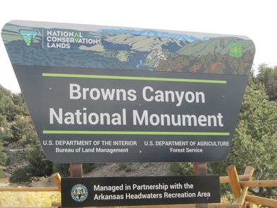
Browns Canyon National Monuments, designated in 2015, encompasses more than 21,500 acres.
A public comment period is scheduled at 3:00 p.m. on April 13. Meeting agenda items include livestock trespass and cadastral survey* issues within the Rio Grande Natural Area, preparations for land use planning within the San Luis Valley Field Office, discussions about transient issues on public lands, and travel and camping management within the Royal Gorge Field Office. The session is also an opportunity to provide an update on the Eastern Colorado Resource Management Plan, as well as district and field manager updates.
The BLM manages more than 245 million acres of public land located primarily in 12 western states, including Alaska, on behalf of the American people. It also administers 700 million acres of sub-surface mineral estate throughout the nation.
Colorado has three 15-member BLM Resource Advisory Councils. These are forums for providing advice and recommendations to the BLM on various resource and land management issues. The Rocky Mountain Resource Advisory Council advises the BLM Colorado Rocky Mountain District including the Royal Gorge and San Luis Valley Field Offices, and Browns Canyon National Monument.
The BLM stated mission is to sustain the health, diversity, and productivity of America’s public lands for the use and enjoyment of present and future generations.
Editor Note: *A cadastral survey plan is basically a property boundary survey. They are primarily carried out for legal purposes so as to accurately establish land ownership boundaries and usage
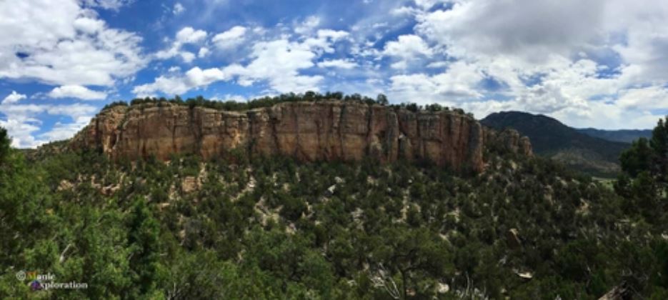
Featured image: Sand Gulch Campground on BLM land, Shelf Road sites near Canon City, Colorado. Image courtesy Manic Exploration/Pinterest


Recent Comments