

Envision Chaffee County, as part of its Recreation in Balance (RiB) program, has released its Recreation Impact Monitoring System (RIMS) to help gauge public land usage.
Developed by the Colorado Mountain Club, RIMS was created to map and help monitor the county’s recreation system and sustainably manage it into the future.
RIMS uses a smartphone application to allow trained volunteers to record and geotag ‘on-the-ground’ impacts on public lands throughout Chaffee County. ‘On-the-ground’ impacts include the size of campsites, number of existing campfire rings, cut tree limbs used for campfires, evidence of human waste such as toilet paper “flowers,” trash, and soil erosion into nearby waters.
This summer, due to the program’s recent inception, monitoring is focused primarily on high-traffic areas. These include ‘14er’ trailheads, the Fourmile Recreation Area, Browns Creek and the Arkansas River corridor.
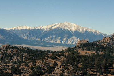
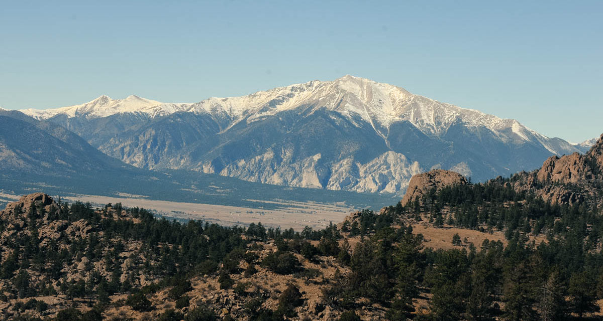
View of the mountains surrounding the Chalk Cliffs and Mt. Princeton as seen from the Ute Trail. (File photo)
There have been 22 data collection focus areas identified by program participants over several months of meetings.
“We heard through the Envision planning process that one of the most important aspects of living here for many people is the natural beauty and outdoor experiences our public lands offer, and that there is concern about the impacts growth creates,” said Envision Co-Lead Cindy Williams.
With Chaffee County’s rapid growth, protecting its most vital economic bases, is critical. A reason why Envision Chaffee County zeroed in on recreation.
“Recreation is also an important economic driver since tourism supports a third of the local economy,” Williams added. “This program involves the community to sustainably manage the impacts of growth so we can maintain our quality of life into the future.”
The goal is to “Capture 22” dispersed campsite areas and their impacts with the RIMS by National Public Lands Day on Sept. 28.
Volunteers can attend one of four training sessions, where they will download the app on their devices, learn how to use it and receive information about the dispersed camping focus areas. RIMS includes a trails component and also records user numbers such as vehicles, people and dogs at trailheads and on trails. Training dates are as follows. To register, go to www.cmc.org/app.
• July 20 — 10 a.m. to noon, Poncha Springs New Town Hall
• July 24 — 6-8 p.m., Buena Vista Community Center
• July 25 — 6-8 p.m., Poncha Springs New Town Hall
• Aug. 10 — 10 a.m. to noon, Buena Vista Community Center
Collected data will be shared with the land management agencies and in a report to the community.
Envision Recreation in Balance participants will create a list of Rapid Response Projects — work projects that will fix impacted areas of concern.
Projects could include rerouting trails that are causing erosion, installing barriers to limit campsite size and impacts, or installing fire rings to improve wildfire safety. New education and enforcement approaches also are being considered. Chaffee Common Ground (Ballot Issue 1A) funding will be sought to help pay for this work.
“We have many dedicated volunteers helping us monitor and manage our public lands, but we can always involve more people as recreation use continues to grow on our forest,” said Ben Lara, a member of the U.S. Forest Service Recreation Staff. “The Salida Ranger District anxiously anticipates reviewing this data and using it for planning through the Recreation in Balance Program to improve our lands for everyone.”
The Salida Ranger District is a program partner with the Central Colorado Conservancy and the Greater Arkansas River Nature Association. Planning work is funded by nearly $150,000 in grant awards provided by state agencies.
Those interested in getting involved can send an email to envision@centralcoloradoconservancy.org.


Recent Comments