

New management at popular high alpine lake to protect natural resources and improve the hiking experience.
When does a trail to a high alpine lake become loved to death? That is the question at Lost Lake, one of Chaffee County’s most treasured gems.
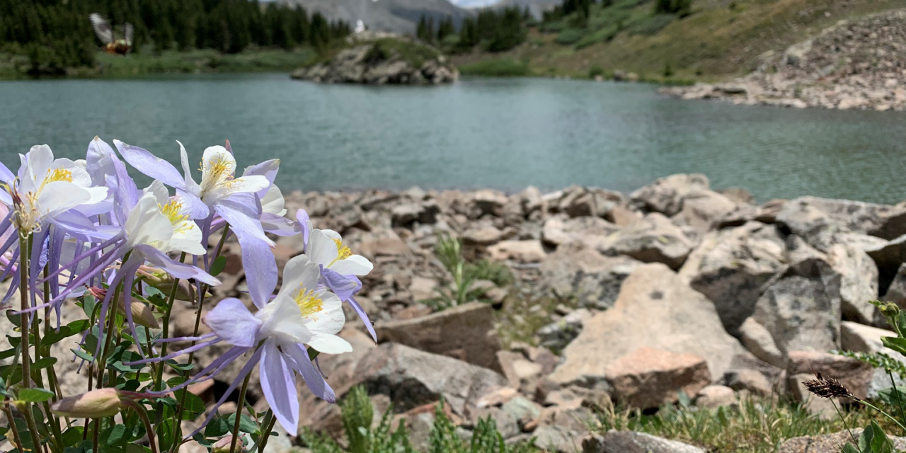
At 11,800 feet in elevation, the destination gained popularity once promoted online and in visitors’ guides as an easy trek to a tranquil, emerald-green lake. “Elevation was easy and it was so rewarding at the lake!” says a recent post on All Trails. “A hell of a view,” says another, and, “Very doable. Gorgeous!” from yet another.
The trailhead on Cottonwood Pass is only 18 miles from the town of Buena Vista. As the crow files, it is barely more than a mile to the lake, yet the route wanders through steep wetlands that slowly wash away with each boot imprint in the squishy, muddy ground.
Land management Choices
Land managers have choices — to close an area that is consistently damaged by users, or to manage it for increased visitation. The Salida Ranger District is choosing the latter at Lost Lake based on a recent environmental analysis and resulting decision signed on March 17, 2021.
The U.S. Forest Service will reroute the trail out of the wetlands and onto dry ground. At the same time, the agency will provide safer parking and signage at a new trailhead just downhill of the current access.
The trail to Lost Lake is a non-system route that does not have proper placement or sustainable design, explains Salida Ranger District Trails Manager Dani Cook, who is leading the reconstruction project. “It is a social trail created by users that continues to widen, braid and follow the path of least resistance.” The behavior continues to cause natural resource damage and threatens recreational opportunities moving forward, she said. “We have soil and sediment loss, damaged and decaying vegetation, and additional negative impacts to the wildlife habitat and watershed.”
Parking along the side of County Road 306 — a busy access route to Gunnison County now that the pass is paved — is problematic because there is not enough room to park cars. Hikers have to cross the highway to access the trailhead, and new social trails have popped up as people walk directly from their cars through the woods to the trail.
The trail reroute project will take place this summer and fall with the help of Volunteers for Outdoor Colorado and Southwest Conservations Corps. Local groups expressed interest in helping to implement the project, as well as assisting in long-term monitoring and maintenance, including Greater Arkansas River Nature Association and Upper Arkansas Wilderness Volunteers, both of which have been involved in the project planning phases.
New Trail Plan
The new trail will have a mellow, family-friendly ascent with scenic views and educational opportunities such as interpretive information on the surrounding area. The system route will travel 1.5 miles to the lake, much of which is already existing as an administrative road. Roughly half a mile of new trail will be constructed to complete the final approach to the lake. A new parking lot with 20 spots will be built off the main highway in a safer location. Once the project is complete, the existing non-system route will be closed. Restoration will include wildlife habitat improvements, erosion control devices and closure of the original area to the public, Cook said.
The project at Lost Lake is identified in the Chaffee County Outdoor Recreation Management Plan as a priority opportunity to enhance user experiences on public lands and address the impacts of growth. Additional projects the Salida Ranger District is working on include renovating the Monarch Park Campground and rerouting the top portion of the Colorado Trail in South Fooses Creek.
Featured image: Photo of Lost Lake. Courtesy of U.S. Forest Service


Recent Comments